NWS Lake Charles weather update: Mon 5.6.19
Published 12:56 pm Monday, May 6, 2019


The National Weather Service is forecasting a stormy and wet week across southeast Texas and southwest Louisiana .
Today and most of Tuesday are forecasted to be dry. But rain chances will be increasing dramatically by late this week.
Here is our current thinking on severe weather and heavy/rain flood potential.
Severe Weather:
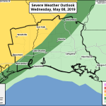
The best risk for severe storms will on Wednesday and Thursday. At this time, the highest threat is forecasted over southeast Texas and central Louisiana. Large hail, damaging winds, and isolated tornadoes will be possible.
Heavy Rain/Flooding Potential:
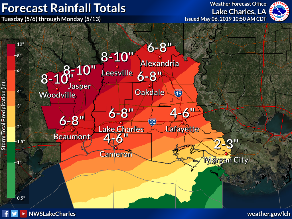
While bursts of heavy rain many lead to localized flooding beginning late Tuesday, more widespread heavy rain will be likely Thursday through Saturday. The flood threat will be increasing as well.
Rainfall estimates through Saturday: 5 to 10 inches
Some areas could receive more than 15 inches.
Highest amounts are forecasted over southeast Texas and central Louisiana.
Besides flash flooding, we will be monitoring for rises in area rivers, especially the Neches and Sabine Rivers.
Stay tuned for further updates.


