Local leaders talk hurricane season preparations
Published 4:47 pm Friday, May 30, 2025
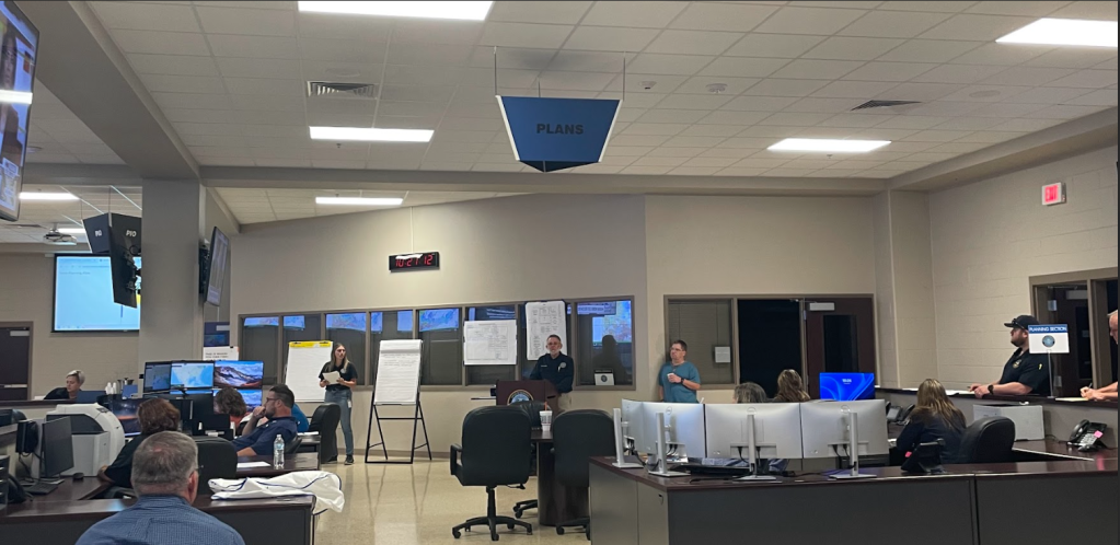
- The Orange County Sheriff's Office, in partnership with the Orange County Office of Emergency Management, participated in a tabletop simulation training focused on planning and responding to weather-related emergencies. (Courtesy Photo)
|
Getting your Trinity Audio player ready...
|
With hurricane season officially beginning June 1, Orange County officials are encouraging residents to take early preparedness steps as part of a coordinated effort to protect lives and property in the face of potential storms.
Orange County Judge John Gothia said his emergency management team has already begun annual readiness efforts, including attending a statewide conference to review disaster protocols and receive updates on any new policies coming from the state and federal levels.
“This week, all of my emergency management personnel are at the Department of Emergency Management conference, just getting all the steps and preparedness,” Gothia said.
Many of the steps to prepare for a hurricane remain the same year to year, but the impact of a storm and the resources needed can vary drastically depending on severity and landfall location. Local crews are prepared to clear roads and assess damage, but significant storms require outside help.
“We have a protocol that we follow with our road and bridge departments to help get roads cleared,” said Gothia. “After a storm comes through, we have to get our roads cleared and get avenues for people to be able to move around again. Our teams go out and they do assessments of any damage in the county because we have to turn that in at the state level and that’s a lot of times what helps trigger other levels of support. You know, but they’re all kinds of standard steps that we follow.”
The process escalates depending on the storm’s classification. If a hurricane is projected to reach Category 3 or above, officials begin considering evacuation orders.
“We basically have a protocol we follow based on how far the storm is out, how fast it’s moving,” Gothia said. “We move from voluntary evacuations to mandatory evacuations if needed.”
Communication with the National Weather Service plays a key role in determining next steps. Updates start as early as when a system enters the Gulf of Mexico and increase in frequency as it nears the Texas coast. Projections of where storms are headed are usually in a “cone” shape to give a predicted area where a storm or hurricane might make landfall.
“If we’re within that cone, then the calls are more frequent,” he said. “Towards the end, we’re doing calls every couple hours with the weather service. That’s what determines when I issue evacuation orders or activate emergency plans.”
Gothia emphasized that residents should not wait until the last minute to prepare.
“But you know personally what we need you to do is just have your stuff prepared. If you need to pack up and go if there is an evacuation and you need to leave, then you know have your medicines have your nonperishable food items, water, things like that, that whenever you’re on the road that you can get, that you have access to and not have to depend on being able to get it in stores because you know it may not the stores may not be open. Or they may be out of it, so if you can have that stuff on hand early, that’s better.”
The county uses emergency alert systems like STAN (Southeast Texas Alerting Network) and local media to keep the public informed in real time.
“Pay attention to the emergency information we’re putting out. There are multiple ways to get it,” said Gothia.